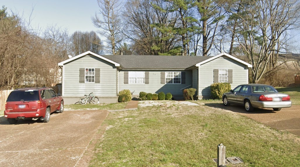
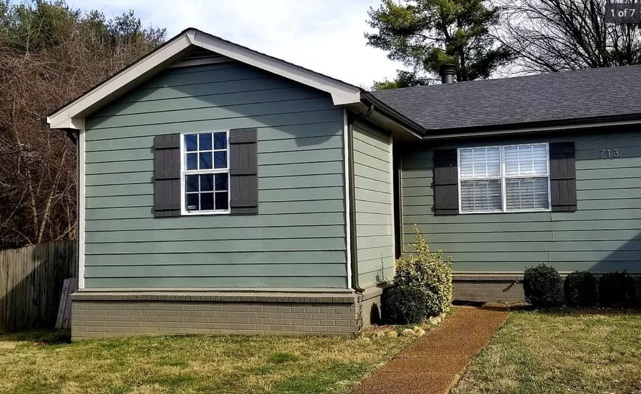
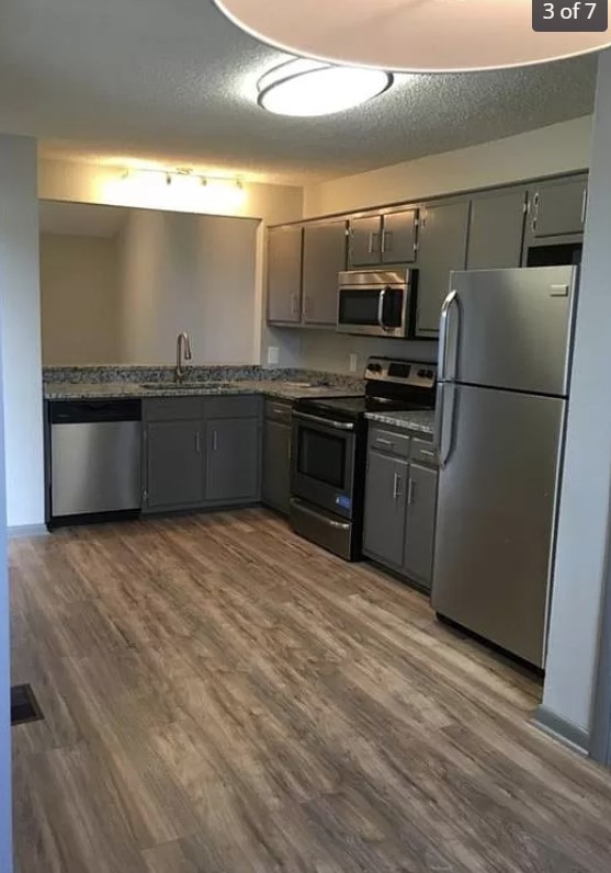
00 Roosevelt Circle, MAYO, FL 32066
Property Photos

Would you like to sell your home before you purchase this one?
Priced at Only: $26,000
For more Information Call:
Address: 00 Roosevelt Circle, MAYO, FL 32066
Property Location and Similar Properties
- MLS#: OM690394 ( Land )
- Street Address: 00 Roosevelt Circle
- Viewed: 12
- Price: $26,000
- Price sqft: $0
- Waterfront: No
- Year Built: Not Available
- Bldg sqft: 0
- Days On Market: 176
- Additional Information
- Geolocation: 30.0509 / -83.1871
- County: LAFAYETTE
- City: MAYO
- Zipcode: 32066
- Provided by: KELLER WILLIAMS CORNERSTONE RE
- Contact: Melissa Martinez
- 352-369-4044

- DMCA Notice
-
DescriptionNestled at the end of a quiet cul de sac, this expansive 1 acre property offers the perfect blend of tranquility and opportunity. Whether you're dreaming of building your forever home or creating a private retreat, this picturesque lot provides the ideal canvas. Surrounded by lush greenery and enjoying minimal traffic, the location is perfect for families, nature enthusiasts, or anyone seeking a serene escape. Imagine waking up to the sounds of birdsong, with plenty of space for gardens, outdoor entertaining, or even a custom pool. Your dream home starts here!
Payment Calculator
- Principal & Interest -
- Property Tax $
- Home Insurance $
- HOA Fees $
- Monthly -
For a Fast & FREE Mortgage Pre-Approval Apply Now
 Apply Now
Features
Building and Construction
- Covered Spaces: 0.00
- Living Area: 0.00
Land Information
- Lot Features: Buildable, Cul-De-Sac, Wooded
Garage and Parking
- Garage Spaces: 0.00
- Open Parking Spaces: 0.00
Eco-Communities
- Water Source: None
Utilities
- Carport Spaces: 0.00
- Pets Allowed: Yes
- Sewer: None
- Utilities: Electrical Nearby, Water Nearby
Finance and Tax Information
- Home Owners Association Fee: 0.00
- Insurance Expense: 0.00
- Net Operating Income: 0.00
- Other Expense: 0.00
- Tax Year: 2024
Other Features
- Country: US
- Current Use: Residential
- Legal Description: LEG 0001.00 ACRES COM AT SW COR OF NW1/4 OF SE1/4 14-05-11; TH N.89 06'07 E ALONG S. LINE OF NW1/4 OF SE1/4 OF SAID SECTION 589.42 FT; TH. N.77 46'18 W. 181.03 FT TO POINT OF CURVATURE OF A CURVE CONCAVE TO NE HAVING A CENTRAL ANGLE OF 76 50'58 A RADIUS OF 367.82 FT. A CHORD OF 457.19 FT AND A CHORD BEARING OF N.39 20'49 W; TH. ALONG ARC OF SAID CURVE 493.35 FT; TH. N.0 55'20 W. 566.45 FT; TH. N.41 11'31 E. 64.10 FT; TH. N.89 04'36 E. 519.02 FT; TH N.00 55'20 W. 315 FT; TH N. 89 04'36 E. 1056.88 FT. TO P.O.B.; TH CONT. N.89 04'36 E. 160.26 FT; TH. S.01 00'02 E. 210 FT; TH. S.89 04'36 W. 207.53 FT TO A POINT ON A CUL-DE-SAC CONCAVE TO THE SW HAVING A CENTRAL ANGLE OF 62 00'16 A RADIUS OF 50 FT. A CHORD OF 53 FT AND A CHORD BEARING OF N.58 55'16 W.; TH. ALONG THE ARC OF SAID CUL-DE-SAC 55.85 FT; TH. N.25 53' 06 E. 203.82 FT. TO CLOSE ON P.O.B. OR BK 245 P. 30-31.
- Area Major: 32066 - Mayo
- Parcel Number: 14-05-11-0000-0000-03205
- Possession: Close of Escrow
- Views: 12
- Zoning Code: R1
Nearby Subdivisions

- Christa L. Vivolo
- Tropic Shores Realty
- Office: 352.440.3552
- Mobile: 727.641.8349
- christa.vivolo@gmail.com


